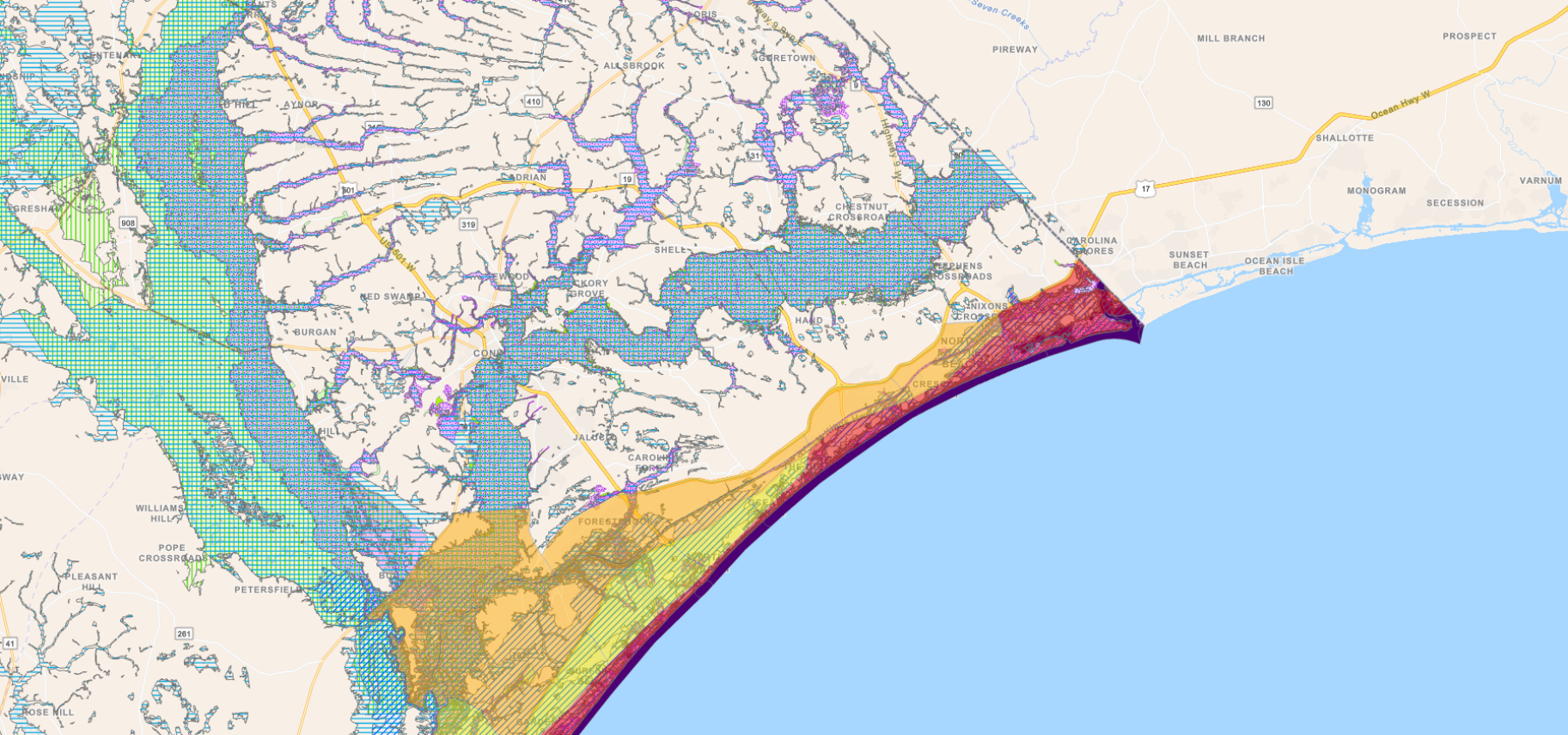
The FEMA Flood Insurance Rate Maps (FIRM) for Horry County have been scanned and converted to DjVu format for viewing. These maps include actuarial insurance rate zones and identify areas of 100-year flood hazard.
To view the maps you must download and install the free DjVu Browser Plugin. DjVu allows you to pan, zoom and print the maps in real-time. It also provides the best image compression available, but the maps are still very large files so please be patient when downloading.
Download Free DjVu Plugin (Windows) Download Free DjVu Plugin (Mac) Reference Grid
The FEMA flood maps are also available for viewing at https://msc.fema.gov/portal through your web browser (no plug-in required) directly on FEMA's website.
View FIRMs at FEMA.gov
The latest version of Horry County Flood News, a quarterly publication from Horry County Code Enforcement, can be viewed by clicking the image below. Summer 2020 .
The DjVu Plugin is required to be able to view the following list of flood maps.
The Federal Emergency Management Agency (FEMA) is in the process of updating the flood zone maps for Horry County. Learn how these changes could affect you!
Learn More View the Map
Appeals Submitted
Your username was successfully changed. You must now sign back into the site with your new username for the changes to take effect.